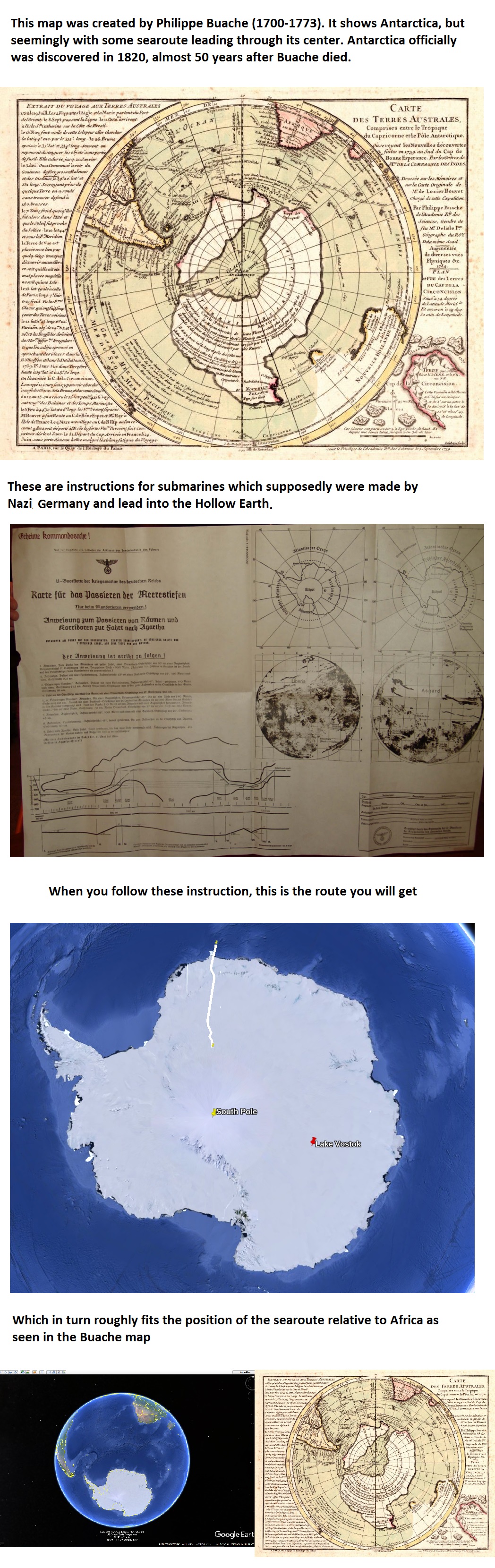
This map was created Philippe Buache (1700-1773). It shows Antarctica, but seemingly with some searoute leading through its center. Antarctica officially was discovered in 1820, almost 50 years after
2026-09-27 02:27
telegramthe_high_council_of_frens
OCR
Текст, распознанный с картинки.
This map was created Philippe Buache (1700-1773). It shows Antarctica, but
seemingly with some searoute leading through its center. Antarctica officially
was discovered in 1820, almost 50 years after Buache died.
8Sept TERRES AUSTRALES,
Comprises
Capricorne etle Péle Antarctique.
dee
у, пот]
к
These are instructions for submarines which supposedly were made
Nazi, Germany and lead into the Hollow Earth.
When you follow these instruction, this is the route you will get
a
Pala
Which in turn roughly fits the position of the searoute relative to Africa as
seen in the Buache map
lang: ru+en
Пользовательские термины
Свои поисковые фразы (до 280 символов). При поиске по термину счётчик растёт.
Пока нет пользовательских терминов.